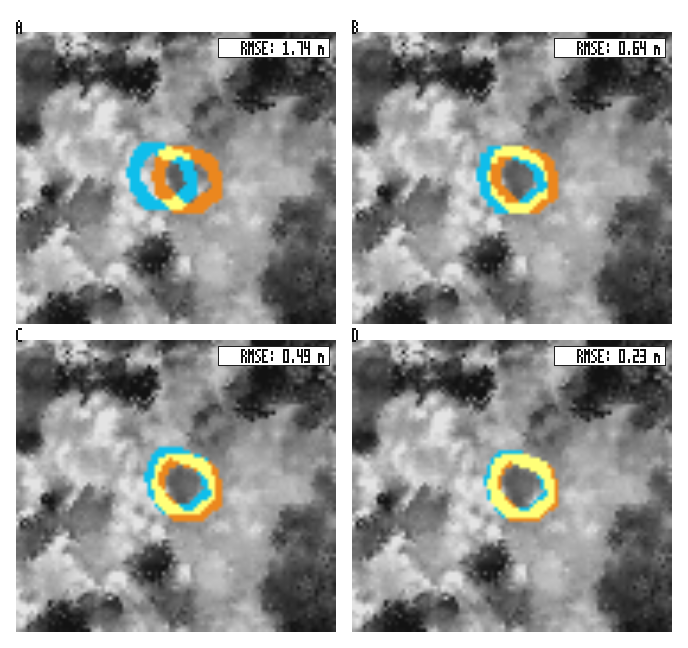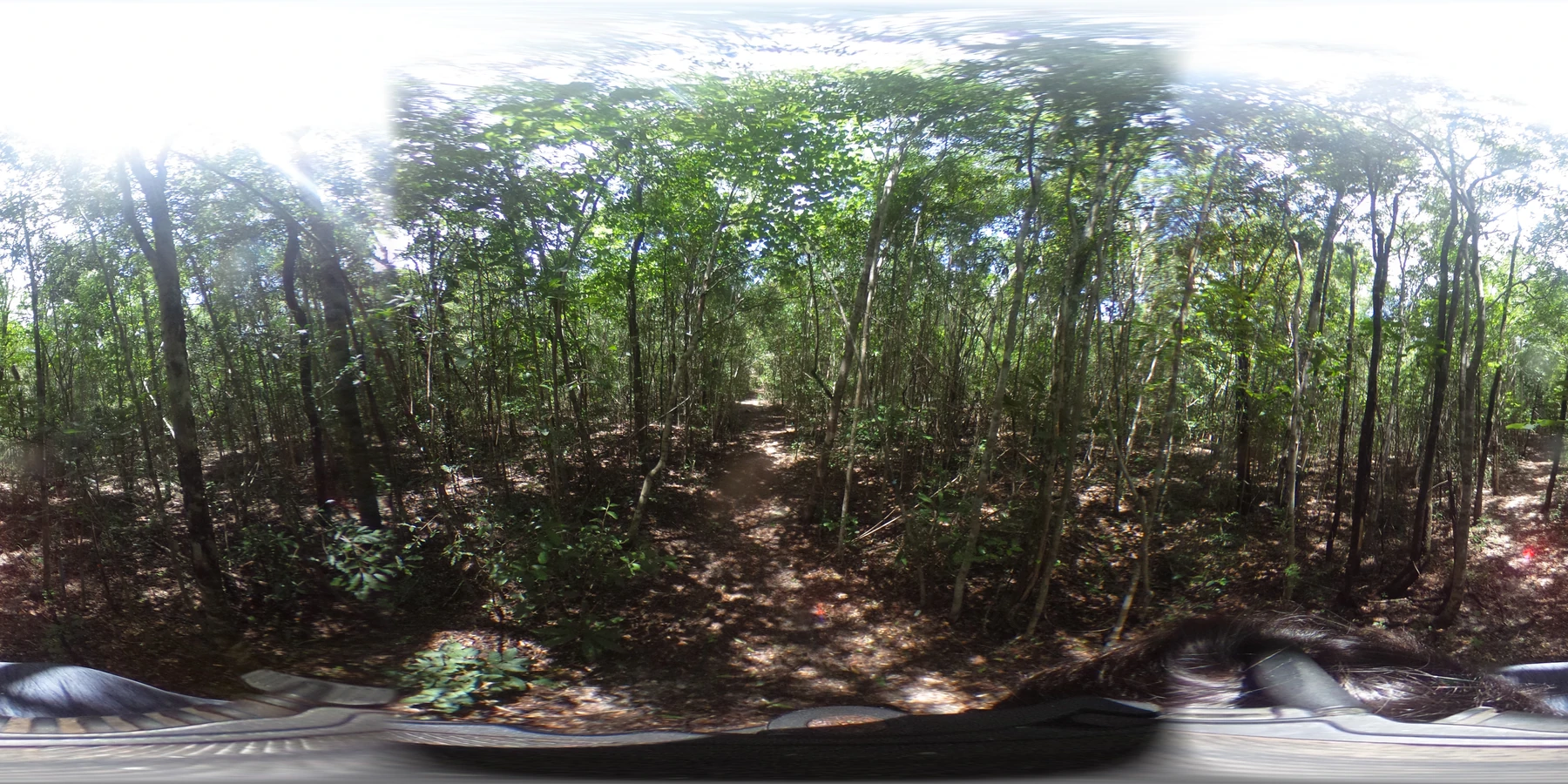
Forest-trail example input photograph, Sefa (Joseph) Percival / LandLensDB. Image source · Used with permission
Software
LandLensDB
Creator and maintainer
Field and street-level photos are most useful when their locations and metadata stay connected to the images. LandLensDB brings these collections into a spatial workflow: extracting geotags, organizing image records, mapping them and storing them in PostgreSQL/PostGIS. I created the toolkit to make geotagged imagery easier to find, query and reuse alongside other geographic data.
- Python
- PostgreSQL
- PostGIS
- GIS
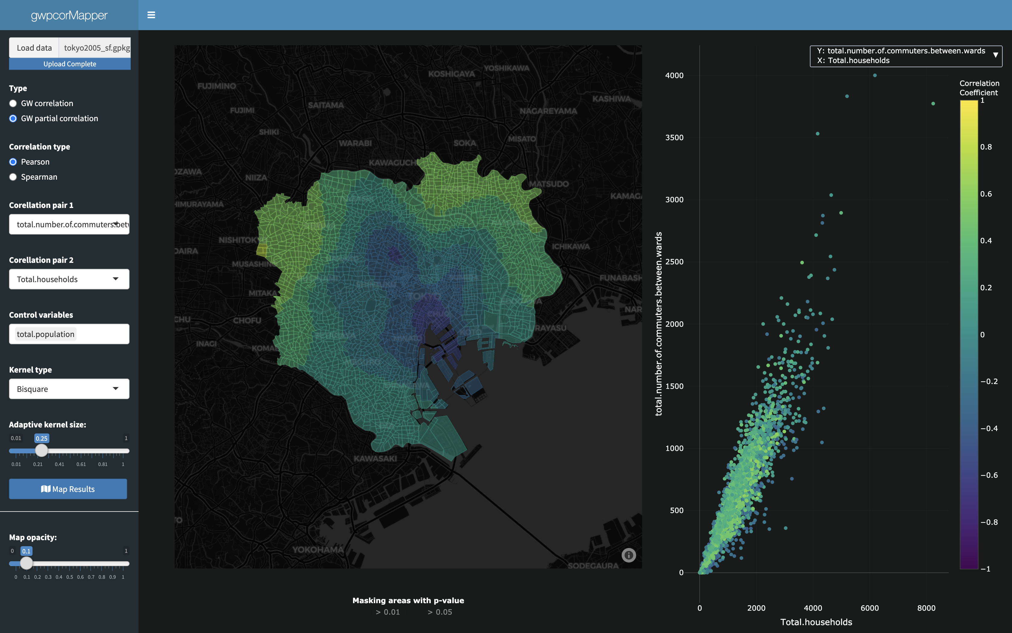
gwpcorMapper contributors; basemap © CARTO and © OpenStreetMap contributors. Image source · GPL-3.0 · CARTO · OpenStreetMap
Software
gwpcorMapper
Creator and maintainer
A single correlation can hide very different relationships in different places. gwpcorMapper is an interactive R Shiny application that maps local correlation and partial correlation, which accounts for other measured variables. Linked maps and scatterplots let users inspect these patterns and explore analysis settings. I created and maintain the tool to make geographically weighted statistics easier to investigate visually.
- R
- R Shiny
- GIS
- Spatial Statistics
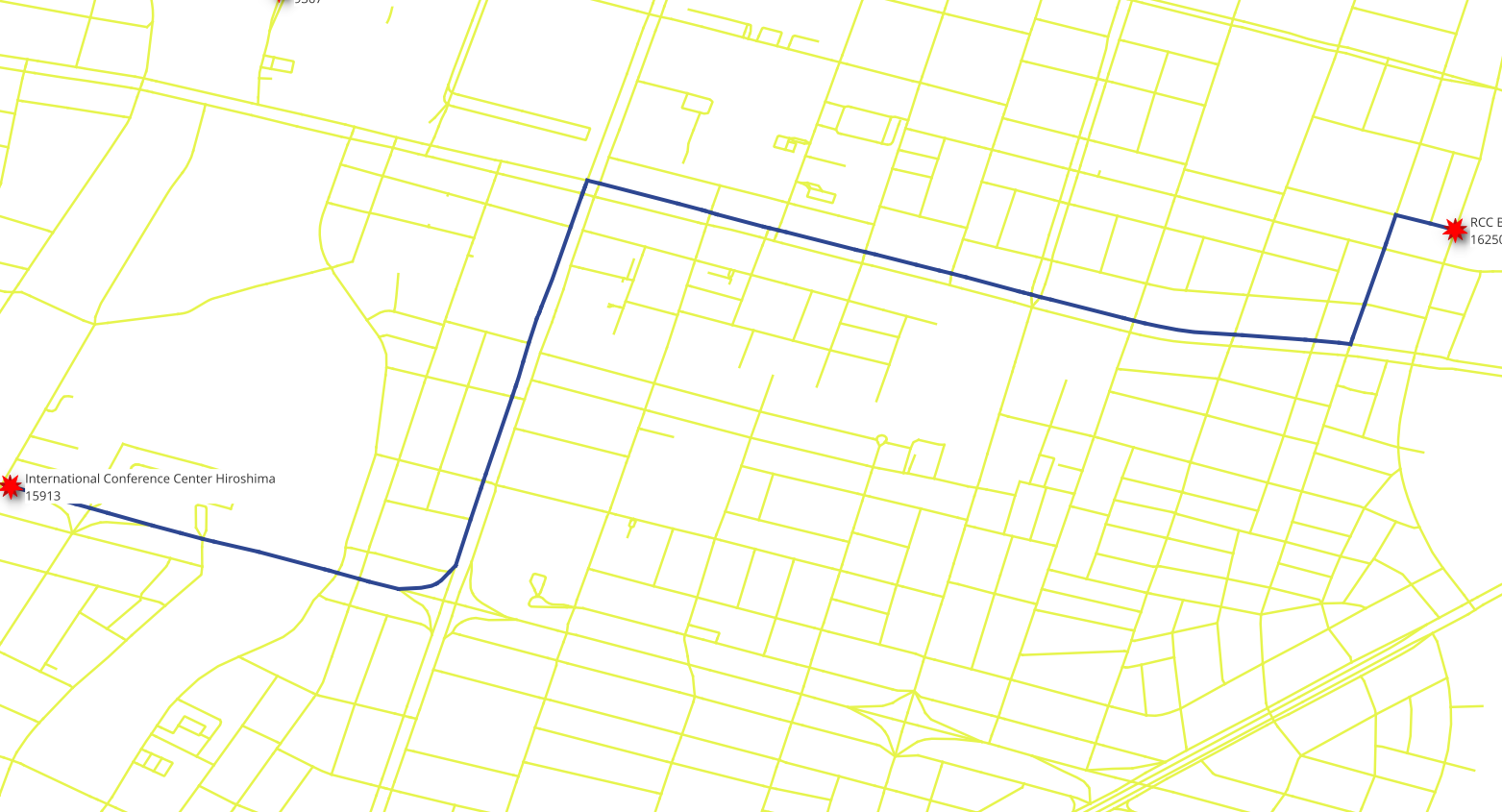
pgRouting workshop contributors; map data © OpenStreetMap contributors. Image source · CC-BY-SA-3.0 · OpenStreetMap
Software
vrpRouting
Co-creator and maintainer
Planning routes for a fleet means accounting for tasks, vehicle capacity and delivery schedules as well as distance. vrpRouting brings vehicle-routing algorithms into PostgreSQL, alongside PostGIS and pgRouting. Its VROOM integration supports jobs, pickups and deliveries, and time windows, so route planning can use data already held in a spatial database.
Developed with Vicky and the pgRouting team. I develop code and review pull requests.
- PostgreSQL
- PostGIS
- C++
- Routing
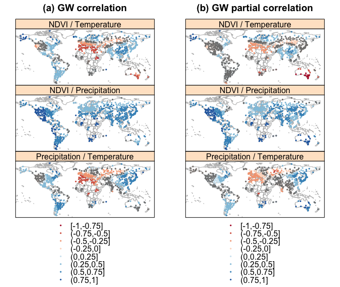
Spatial relationships among NDVI, temperature, and precipitation in 2014, comparing geographically weighted correlation and partial correlation. Grey points indicate p-values above 0.05.
Figure 1 from Joseph Percival and Narumasa Tsutsumida, Geographically Weighted Partial Correlation for Spatial Analysis, GI_Forum (2017). Reproduced unchanged. Image source · CC BY-ND 4.0
Software
gwpcor
Creator and maintainer
GWpcor calculates geographically weighted correlation and partial correlation in R. It estimates relationships locally, with partial correlation accounting for the other variables included in the analysis. The package returns spatial results that can be mapped or examined further, helping analysts investigate associations that a single study-wide statistic can obscure. I created and maintain the package.
- R
- C++
- Spatial Statistics
- GIS
pgRouting workshop contributors; map data © OpenStreetMap contributors. Image source · CC-BY-SA-3.0 · OpenStreetMap
Software
pgRouting
Maintainer and Project Steering Committee member
pgRouting adds routing and network analysis to PostgreSQL/PostGIS. Analysts can use SQL to find shortest paths, calculate reachable areas and solve other graph problems using network data and costs stored in their database. Keeping the analysis alongside the data makes it easier to incorporate changing attributes and connect routing results to wider GIS workflows.
I review code and contribute to project governance.
- PostgreSQL
- PostGIS
- C++
- Network Analysis
No projects match the selected filters in GIS.